

Real Estate Smarts · LPT Realty
Waterfront Lake Guide
Kawarthas · Peterborough County · Northumberland · Durham · Simcoe County
What Every Waterfront Buyer Needs to Know
We have been selling waterfront properties for over 16 years. Between us, we know these Lakes — not from a brochure, but from hundreds of waterfront listings, countless showings, and years of watching this market move in ways that still surprise us sometimes.
This guide exists because the information you actually need before buying waterfront is almost never in the listing. The MLS description will tell you the square footage and whether there's a boathouse. It will not tell you that the southern end of that Lake gets so weedy in August you can barely swim, or that the road is maintained by one retired guy with a plow and a bad hip, or that the septic is a holding tank and you'll be paying to pump it every six weeks all summer long.
That's what this guide is for. Use it as your starting point — then call us, and we'll go deeper.
We have never seen such high waterfront inventory levels as we are seeing right now. There are more waterfront listings sitting on the market than we have ever witnessed in our careers, and prices have come down significantly from the COVID peak. Some properties are genuinely under water on their purchase price. That means real opportunity for Buyers who are paying attention. That window can change — sometimes quickly. If a property interests you, don't wait too long to go see it. Most properties this year are more negotiable than they have been in previous years — which means there is real room to have a conversation. You don't want to look back and wish you hadn't waited. That said — high end, coveted Lake properties still move quite consistently. If you have your eye on a premium property, don't assume it will sit.
Before You Fall in Love With a Listing
Here is what we want you thinking about before you make an offer on any waterfront property. None of these are dealbreakers — every single one is manageable if you have the budget and the appetite for it. What they are is information. Go in with your eyes open and you will make a much better decision.
Now — Let's Talk About the Lakes
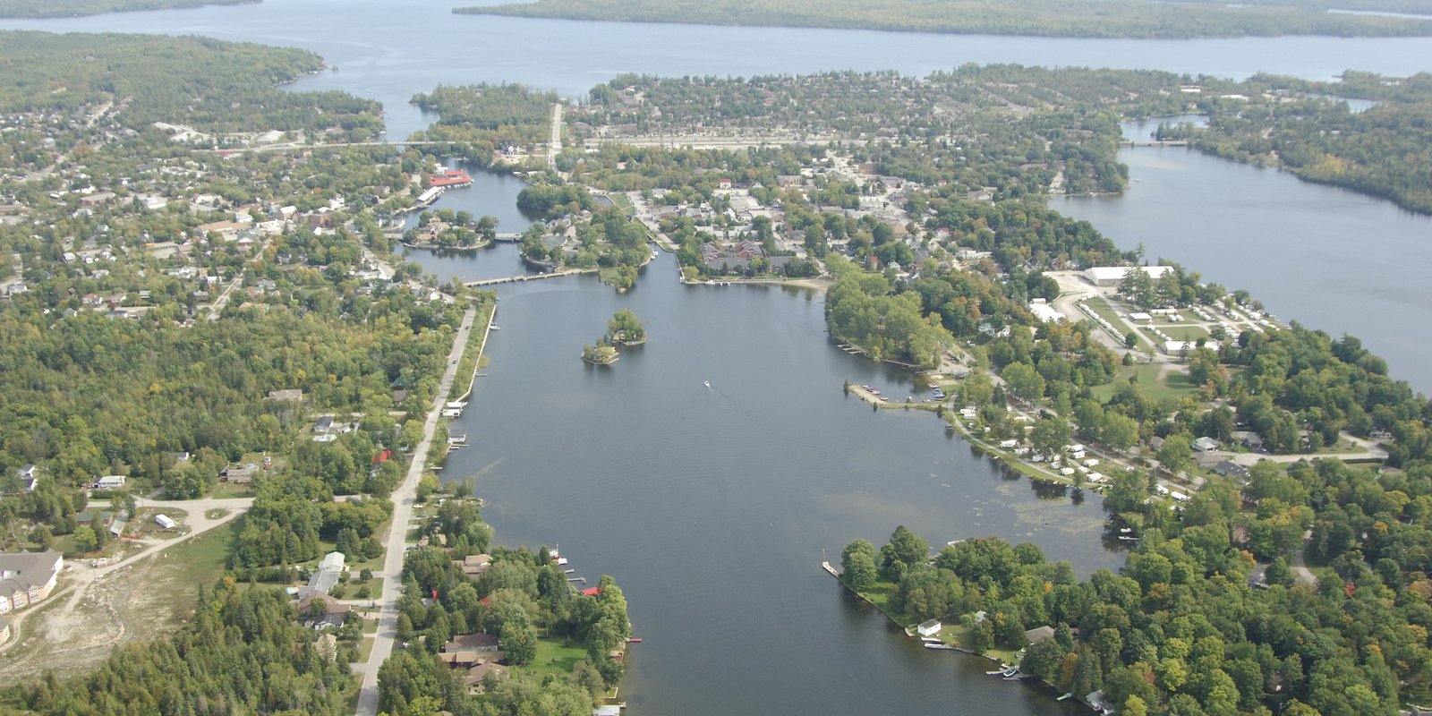
The region we work in is one of the most diverse waterfront markets in Ontario. Within two hours of Toronto, you can buy on a crystal-clear Canadian Shield Lake with granite cliffs and loons, a shallow sandy-bottomed Lake perfect for toddlers, a fully connected Trent-Severn Waterway Lake where you can boat to three towns for dinner, or a quiet landlocked Lake where the only traffic is canoes. The price range across all of it spans from under $500,000 to well over $5 million.
Understanding what makes each Lake different — and why those differences matter for how you'll actually use a property — is the whole point of what follows.
A few things to understand before you read on:
The Trent-Severn Waterway is a 386-kilometre canal system connecting Lake Ontario to Georgian Bay through 44 locks. Many Lakes in the Kawarthas sit on or connect to this system — which means a boater can travel from one Lake to another, stopping at towns along the way. For some Buyers, that connectivity is the whole reason they're here. For others, a quieter standalone Lake is exactly what they want. We'll tell you which is which.
Flooded Lakes vs. natural Lakes. Several of the most popular Kawartha Lakes — Pigeon, Chemong, Buckhorn, Canal, and Lake Scugog among them — were created or significantly expanded when farmland was deliberately flooded during Trent-Severn construction in the early 1900s. That history matters. Agricultural soil on the Lake bottom contributes to weed growth that simply doesn't exist on the deep, rocky Canadian Shield Lakes to the north and east. We flag every flooded Lake clearly throughout this guide.
Price reflects water quality — usually. The cleanest, deepest, most recreational Lakes generally command the highest prices. But there are exceptions in both directions — Lakes that are underpriced for their quality, and Lakes where you're paying for location and convenience more than the Lake itself. We've tried to call both out honestly throughout.
The Lakes are organized by geographic region, and within each region from highest to lowest average price. Use the region headings to find your area, and the price tiers to calibrate your search. Then call us — we can set you up on a search specific to the area or Lake or Lakes you want, so you're the first to know when something comes available.
Water quality and weed growth can change year to year. Hotter summers, amount of rainfall, and water levels can all affect weed growth. We've been seeing noticeably more weed growth on some Lakes in recent years due to the hotter summers. The information in this guide reflects our best current knowledge — but always assess the waterfront at the specific property you're considering, in the season you plan to use it.
Peterborough County
Stoney Lake · Clear Lake · Katchewanooka · Chandos · Julian · Sandy · Kasshabog · Jack · Lovesick · Buckhorn · Anstruther · Catchacoma · Mississagua · White Lake ·
Big Cedar · Fortescue · Chemong · Pigeon (east)
Stoney Lake
Douro-Dummer, Peterborough County
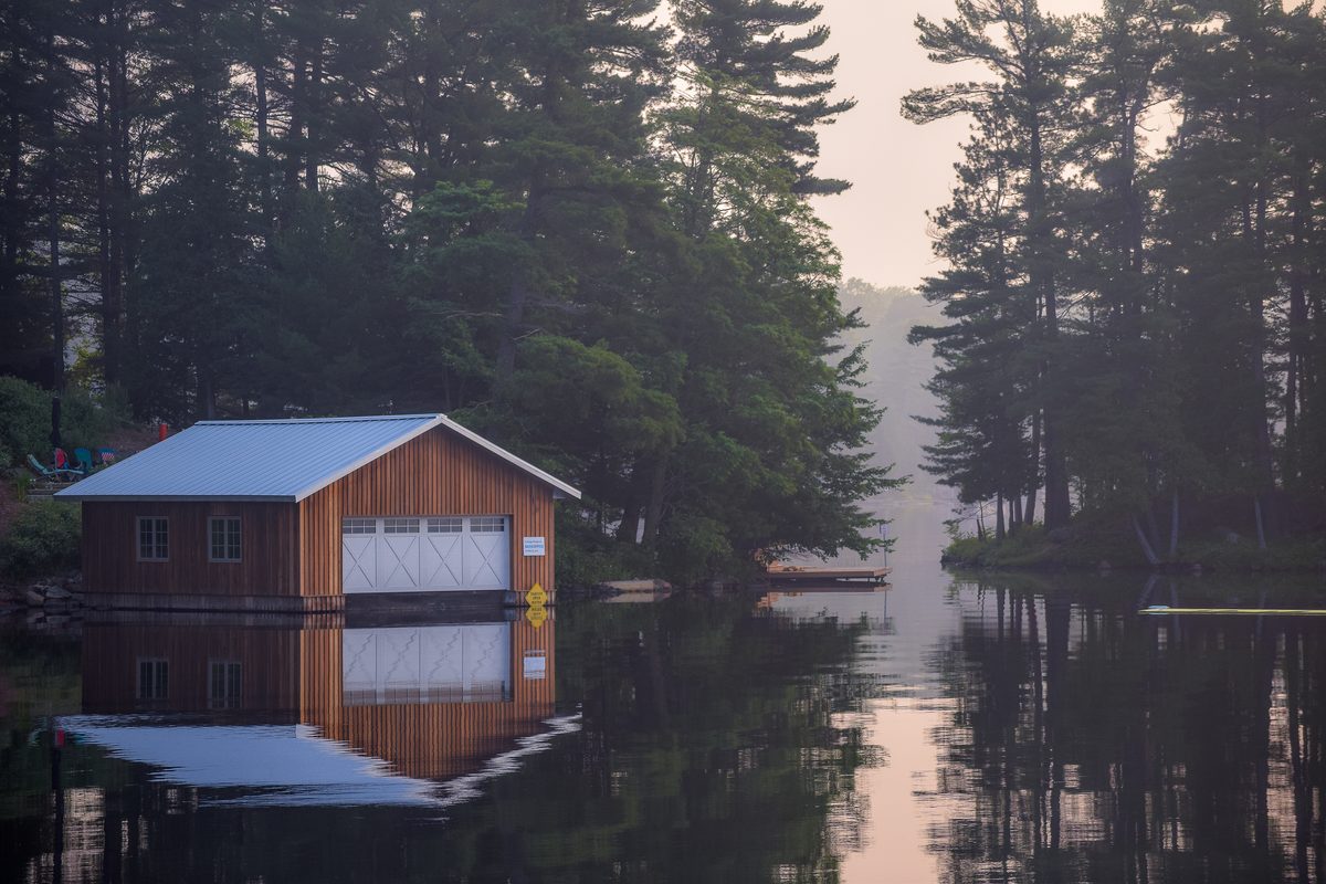
Often called the jewel of the Kawarthas — and it earns the title. Stoney Lake has over a thousand islands, rugged Canadian Shield granite, crystal-clear water, and a cottaging culture that goes back generations. This is not a starter Lake. It's a destination.
Primarily rocky Canadian Shield with dramatic granite outcroppings, pine trees, and deep clear water right off the dock. The north shore is the most rugged and scenic — expect significant drops from the cottage to the water in many locations, with stairs cut into granite a common feature. The south shore transitions to sand and clay with gentler, more accessible entry. Island properties are plentiful and among the most coveted on the Lake. Stoney is a large, open Lake and can get rough on windy afternoons — experienced boaters love it, but it deserves respect. Excellent for power boating, water skiing, tubing, and wakeboarding. Quieter bays are perfect for paddling and kayaking. Loons are abundant.
Clean and clear. Rocky bottom means minimal weed issues. One of the better Lakes in the region for swimming directly from the property. Water stays cool given its depth.
Mid $700s for island properties · $1.2M–$4M+ for year-round waterfront
Stoney is close to Peterborough with its hospital and full amenities, so a lot of owners live here full-time — you get the Lake lifestyle without sacrificing city convenience. The island properties are a world of their own: incredible privacy, incredible views, and you need to think carefully about water access, year-round feasibility, and boat storage. Don't buy an island cottage without spending a summer weekend on it first.
Clear Lake
Smith-Ennismore-Lakefield, Peterborough County
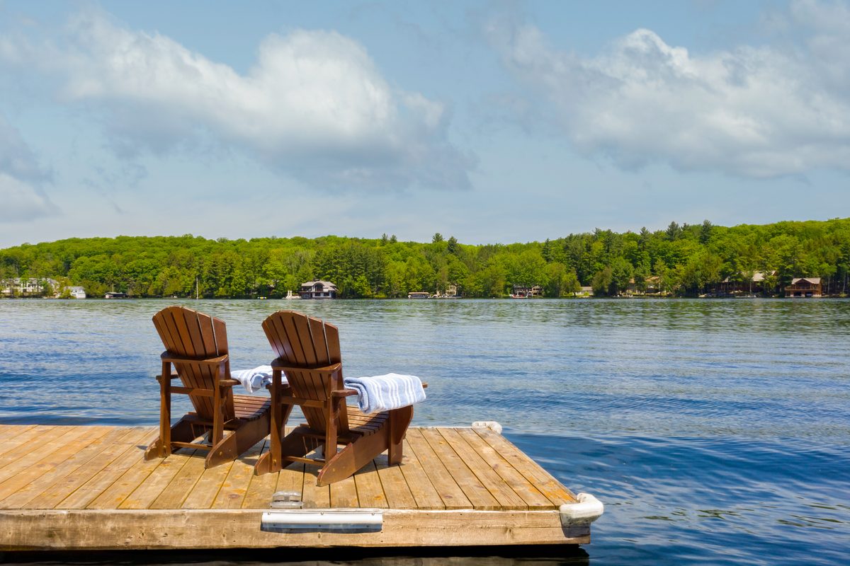
Part of the Stoney Lake system and sharing its clean, rocky character. Clear Lake is small, spring-fed, and strikingly beautiful — deep emerald-green water, granite shorelines, and a peaceful atmosphere that attracts Buyers who want Stoney Lake quality at a slightly more accessible address.
Granite shorelines — some quite steep to the water. The Lake is small (approximately 100 acres) with around 65 waterfront properties, mostly seasonal. Lots are generally good-sized. The water has a distinctive emerald-green hue near shore. Deep off-dock swimming for adults; some wade-in areas for children.
Excellent. Deep, clear, spring-fed water. Rocky bottom means virtually no weed issues. One of the cleanest Lakes in the area.
Low $800s for island properties · Up to $5M+ for premium waterfront
Clear Lake is small — only about 65 properties — which means it rarely comes to market and prices reflect that scarcity. When something does come up here, it moves. If Clear Lake is on your list, you need to be ready to act.
Chandos Lake
North Kawartha Township, Peterborough County
A large, deep, spring-fed Canadian Shield Lake 45 minutes north of Peterborough. Chandos has over 1,200 cottages, three marinas, and consistently excellent water quality. It's a classic Shield Lake — clean, rocky, beautiful — and it delivers exceptional value compared to Stoney.
Rugged Canadian Shield with rocky outcroppings, windswept pines, and deep clear water. Three distinct bays — West Bay, South Bay, and Gilmour Bay. Shoreline character varies by bay. Some lots are steep with significant drops down to the water — Canadian Shield topography at its most dramatic. Others have more gradual access. Sandy beaches can be found in spots. The Lake is large enough for power boating, water skiing, and tubing while remaining quiet enough for kayaking and canoeing. Excellent fishing — Lake Trout, Bass, Walleye. Loons nest here reliably every year.
Generally weed-free and excellent. Spring-fed water maintains quality and depth through the season. Consistently noted as one of the cleaner Lakes in the area.
Mid $600s for smaller original cottages · $2M+ for newer year-round waterfront homes
Chandos is consistently underpriced relative to its quality. You get Shield water, Shield scenery, excellent fishing, and three marinas — for less than you'd pay for the same square footage on Stoney. The trade-off is no Trent system access and a longer drive. For Buyers who just want a beautiful Lake to be on, Chandos is one of the best-kept values in the region.
Julian Lake
North Kawartha Township, Peterborough County
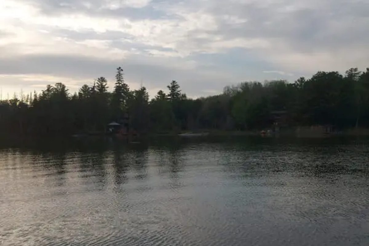
Known for its stunning turquoise water and only 20 minutes from Lakefield. Julian is a spring-fed, marl-bottom Lake that turns a remarkable teal-green late in the season. It's gaining in popularity among Buyers who want Stoney-quality water at a more accessible price point.
A moderately small Lake at approximately 212 acres. Sandy beach areas with west-facing sunset views. Close-knit cottage community with a strong sense of belonging among residents. Municipal boat launch available.
Excellent — the turquoise clarity is the Lake's signature. Marl bottom keeps weed growth minimal. One of the cleaner smaller Lakes in the region.
Most cottages on Julian Lake are over $1M
Julian Lake punches well above its size. The water colour alone draws people in — and once they're in it, they're sold. It's a small community, it's close to Peterborough, and the price premium over the past few years reflects how many Buyers have discovered it. Still a better value than Stoney for what you get.
Kasshabog Lake
Havelock-Belmont-Methuen, Peterborough County
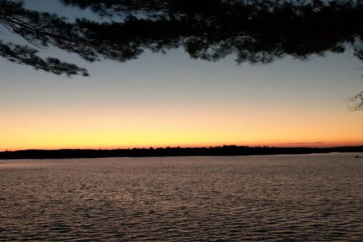
Known locally as "Kosh Lake" — and quietly considered one of the best-kept cottage secrets in the Kawarthas. Spring-fed, clear, and set deep in Canadian Shield country with hundreds of small islands, granite cliffs, and long finger bays. Dollar for dollar, one of the best values in the region.
Approximately 2,000 acres with around 621 cottages. Long bays and islands give the Lake a much larger feel than its size suggests. Many water-access properties offer first-time Buyers entry-level pricing. Two marinas, a sandy public beach, and an annual regatta give it an active community feel. Good for recreational boating, canoeing, kayaking, and fishing. The many bays offer sheltered paddling. Loons are a regular presence.
Spring-fed and clean. Swimmers paradise with clear water. Minimal weed issues given its depth and rocky character.
Mid $400s for seasonal island cottages · $2M+ for premium properties
Kosh Lake is the kind of place people find and then wonder why they waited so long. It has everything that makes Shield cottage country special — clear water, rocky islands, pines — without the price tag of the bigger-name Lakes. The water-access cottages are a particularly interesting entry point for Buyers who want the experience without the full investment.
Jack Lake
North Kawartha / Havelock-Belmont-Methuen, Peterborough County
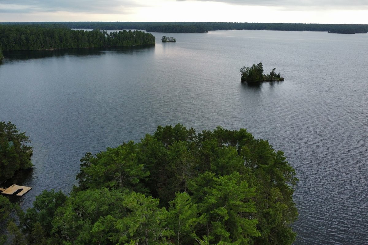
A remote, deeply Canadian Lake set at the edge of the Canadian Shield, surrounded by the Peterborough Crown Game Preserve. Tea-stained water, rolling hills, steep rocky slopes, and an irregular shoreline with many bays and islands. Buyers who want a true wilderness waterfront experience find Jack Lake deeply appealing.
Approximately 3,013 acres with deeply indented bays. Rolling hills, steep slopes with rocky outcrops, and an irregular shoreline that gives the Lake a dramatic, undeveloped feel. Three-quarters of the Lake surface is within North Kawartha. Surrounded by Crown Game Preserve — no hunting pressure, abundant wildlife.
Tea-stained (naturally occurring organic colour — not a water quality issue). The limited light penetration from the tannins actually helps reduce weed growth. Clean and swimmable.
~$800K entry · Up to $2M+ for premium properties
Jack Lake is not for everyone — and the people who love it would have it no other way. If your version of cottage country involves loons, minimal neighbours, and the feeling of being genuinely away from everything, this is worth a serious look.
Lovesick Lake
Municipality of Selwyn / Burleigh Falls, Peterborough County
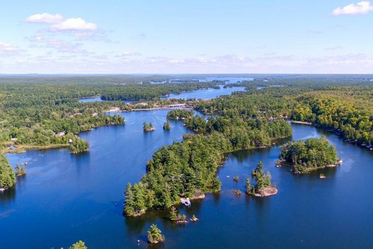
A smaller, quieter Lake connecting Buckhorn and Stoney, with the highest percentage of island shoreline on the entire Trent-Severn system. Rocky shores, lush greenery, and a peaceful character that draws Buyers who want Trent-Severn access without the boat traffic and bustle of the main chain Lakes.
Rocky shores, scenic islands, and a narrow, winding channel through the first half of the Lake. The route through Lovesick is considered one of the most beautiful passages on the Trent-Severn. About 30 minutes north of Peterborough via Highway 28.
Assess by specific location. The rocky character of many shores limits weed growth in those areas, but as a flooded Lake, some bays can have softer conditions. Ask specifically about the property you are considering.
Under $1M · Up to $2.5M for premium waterfront
Lovesick attracts a very specific Buyer — someone who wants to be on the Trent system, wants privacy and quiet, and doesn't need to be on one of the big showcase Lakes. It delivers exactly that. The passage through the islands on a calm evening is genuinely one of the most beautiful experiences on the waterway.
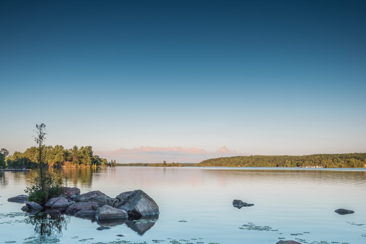
Buckhorn Lake
Trent Lakes / Selwyn, Peterborough County
Buckhorn is a Lake of two very different personalities depending on where you are on it. The south side and enclosed bays can be weedy and shallow. The north end toward Stoney Lake is a completely different experience — cleaner water, rockier shoreline, and a character much closer to the Shield Lakes to the north. Location on this Lake is everything.
Approximately 7,800 acres with 70 miles of shoreline. The Lake connects to Pigeon Lake to the west, Chemong Lake to the south, and Lower Buckhorn Lake to the east. Sand beaches can be found along the shoreline. Communities on the Lake include Buckhorn village, Curve Lake First Nation, Gannon Village, Gannon Beach, and Young's Cove.
Variable and highly location-dependent. South side and bays: can be significantly weedy. North end toward Stoney Lake: noticeably better — cleaner water, rockier bottom. Always assess the specific property and shoreline before buying.
Mid $500s · $2M+ for premium north-end waterfront
We always tell Buckhorn Buyers: the address is not the story — the specific location on the Lake is. We've shown properties on Buckhorn that felt like Stoney Lake and properties that felt like a weedy pond. The difference in price and experience can be enormous. Let us help you find the right end of this Lake.
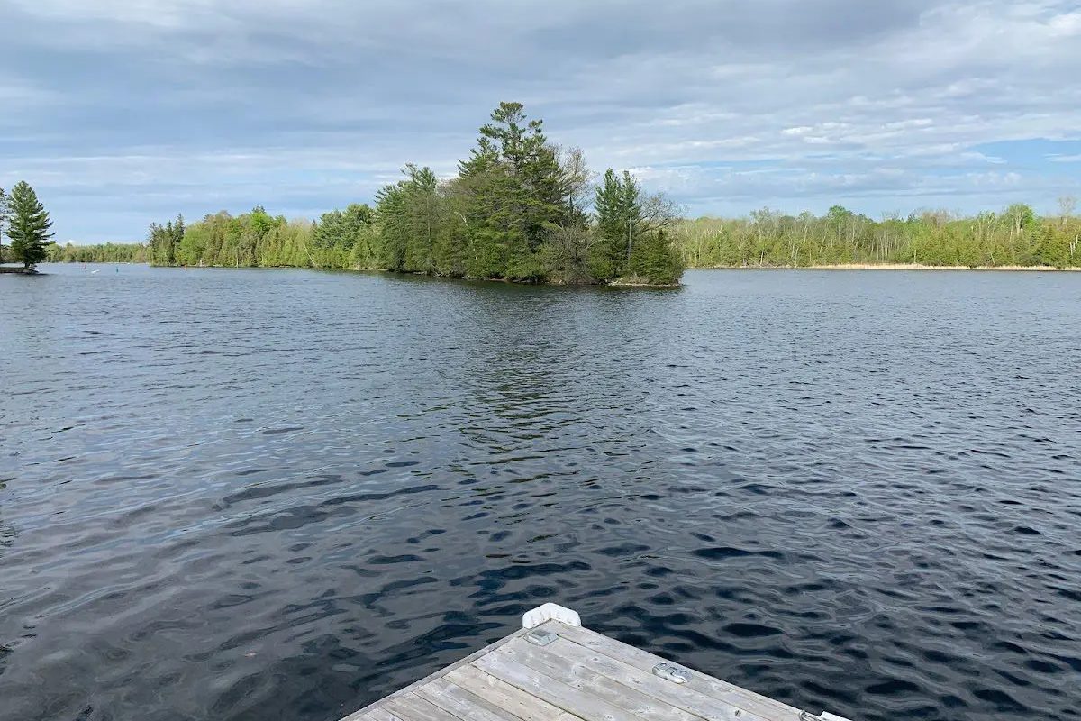
Katchewanooka Lake
Smith-Ennismore-Lakefield, Peterborough County
Situated between Young's Point and Lakefield, Katchewanooka connects Stoney Lake to the Otonabee River and is part of the Trent-Severn system. It offers a more accessible and often more affordable entry point to the Stoney Lake system — with all the boating connectivity that brings.
A shallow, sandy-bottomed Lake — 8 km long and 0.5 km wide. Popular for swimming given its gradual sandy entry. Note hazards for larger boats in shallow sections. Lakefield College School is on the east shore. Flooding can be an issue during spring run-off given its position in the waterway system.
Assess by specific location. Shallowness can contribute to warmer water and some weed growth in bays. Better on open shore sections.
High $700s · Up to $4M+ for premium waterfront
Katchewanooka is an interesting option for Buyers who want the Stoney Lake boating experience without the Stoney Lake price tag. You can be on Stoney within minutes by boat. The Lake itself is quieter and more modest — which for the right Buyer is exactly the point.
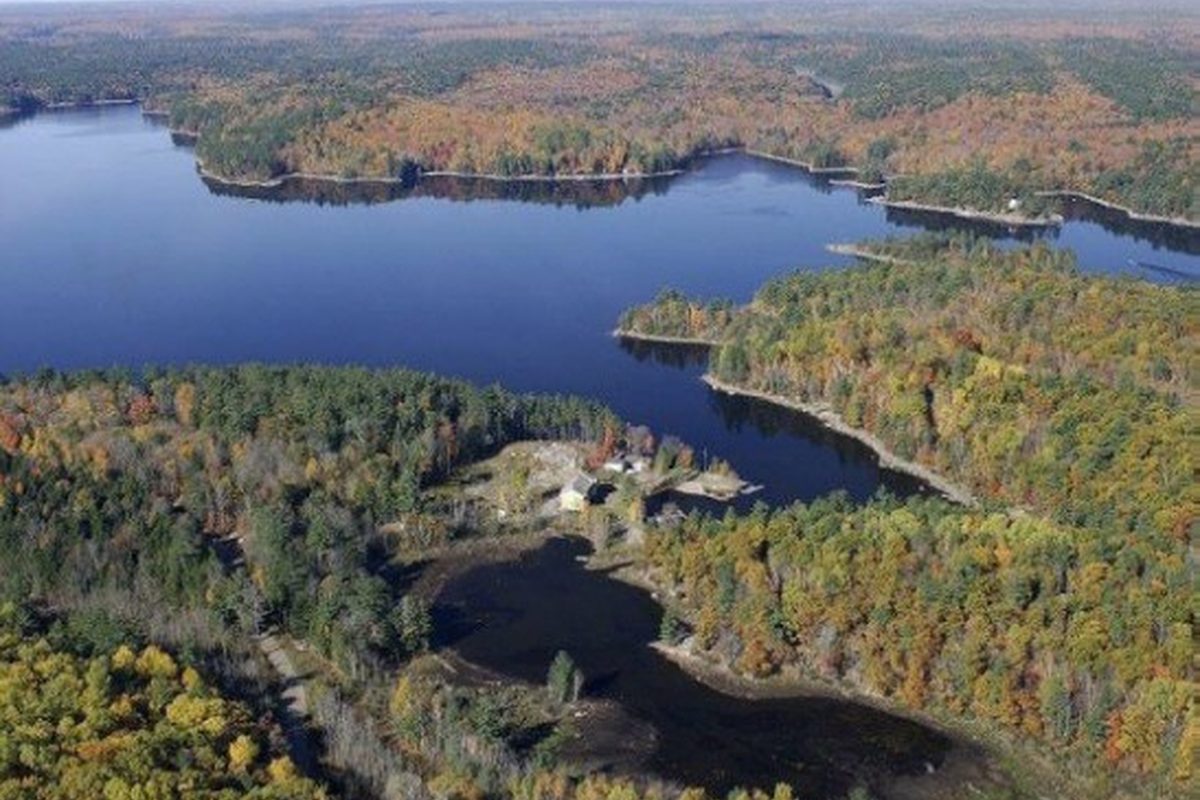
Anstruther Lake
North Kawartha Township, Peterborough County
A scenic motorboat-friendly Lake within Kawartha Highlands Provincial Park, west of Apsley. About 230 cottages, many water-access only. Deep, clean Shield water with good fishing and canoe route access into the park's backcountry. A true wilderness Lake with a marina on site.
Irregular shoreline with bays, inlets, and islands. Many cottages are water-access only — factor in boat transport for everything you bring to the property. Ice fishing is prohibited (sanctuary Lake in winter). Annual regatta at Civic Holiday is a community highlight.
Deep and clean. Rocky Shield character keeps weed growth minimal. Excellent water quality year-round.
Condo development from mid $400s · Private cottages from $700s
If you're buying water-access on Anstruther, make sure you've thought through logistics in all four seasons. What's romantic in July is a different calculation in November. That said, for Buyers who want genuine Shield wilderness with a marina on-site and a community around them, Anstruther delivers.
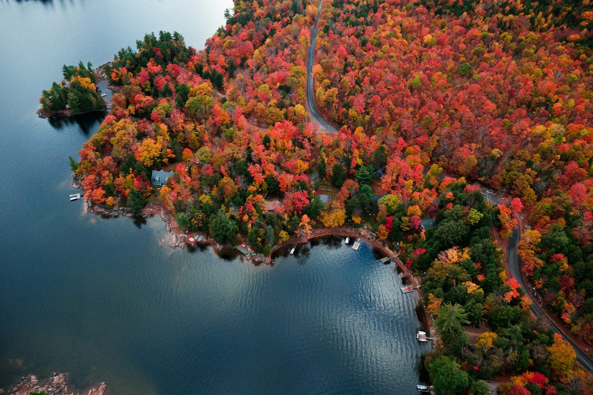
Catchacoma Lake
Peterborough County
A deep, spring-fed Lake in the Kawartha Highlands, part of a seven-Lake chain north of Buckhorn. Catchacoma is known for its cold, clean water, excellent fishing, and quiet chain-Lake boating. The surrounding Crown land means a shoreline that will never be overdeveloped.
Long, narrow, and deep with an irregular shoreline of bays and islands. Crown land surrounds much of the Lake, limiting future development and preserving the wilderness feel. Excellent for fishing and quiet boating. The seven-Lake chain offers a full day of exploring without ever leaving the water.
Excellent — cold, deep Shield water with minimal weed growth. One of the cleaner Lakes in this guide.
Mid $400s · Up to $3M
Catchacoma is the kind of Lake where you can spend a whole day on the water and see three other boats. The chain connectivity is genuinely fun — you can explore seven Lakes without trailering — and the Crown land protection means what's quiet now will stay quiet. For Buyers who want wilderness without being completely off-grid, this is one of the best options in the region.
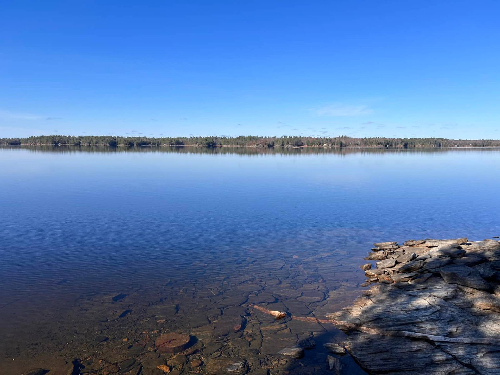
Mississagua Lake
Peterborough County
One of the best-kept secrets in the Kawarthas — deep, clean, weed-free Canadian Shield water with a quieter feel than the big Trent-Severn Lakes. Part of the same seven-Lake chain as Catchacoma, just north of Buckhorn. In recent years it's become a draw for successful business owners and a number of NHL players, but the Lake itself remains low-key — no large boat traffic, no marina crowds, just very good water.
Roughly 1,700 acres of surface area with an average depth of 58 feet and a maximum of 130 feet — among the deepest Lakes in this guide. The east side borders Kawartha Highlands Provincial Park, so a good stretch of shoreline will never be developed. Two public boat launches — one off Dam Road at the south end near the dam that controls outflow into the Mississagua River, and another on West Bay Road. The Little Gull Marina services the Lake. Properties range from older traditional cottages to substantial four-season homes, reflecting the Lake's growing profile.
Excellent — clean, deep, cold Shield water with minimal weed growth, even in sheltered bays. One of the cleanest Lakes in this guide.
Low $900s · Up to $4M+
Mississagua flies under the radar compared to Stoney or Buckhorn, and that's exactly its appeal. The water quality is some of the best in the region, the Lake is closed to ice fishing from December through mid-May which helps protect the fishery, and the seven-Lake chain means you can spend a whole day exploring without ever trailering your boat. Worth a serious look if quiet, depth, and privacy matter more to you than proximity to marina life.
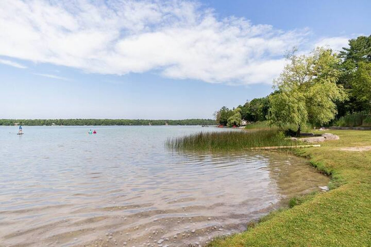
Sandy Lake
Municipality of Trent Lakes, Peterborough County
Spring-fed with the distinctive turquoise-green colouring that comes from mineral-rich water and a limestone base. Known and sought-after for its crystal-clear water and sandy beach character. A favourite with families who prioritize swimming quality above all else.
Mostly seasonal properties. Public Sandy Lake Beach with picnic shelters and a designated canoe/kayak launch. Water is typically clean with that distinctive slight-green mineral colour. About 5 km west of Buckhorn.
Generally clean with sandy bottom and clear water. One of the better swimming Lakes in the area.
High $600s · Up to $2M
Sandy Lake is exactly what it sounds like — and Buyers who prioritize swimming with kids consistently land here. The turquoise colour in late summer is genuinely striking. A solid mid-range choice with good value relative to its water quality.

White Lake (Dummer Lake)
Douro-Dummer, Peterborough County
A landlocked, quieter Lake along County Road 6 on the south side of Stoney Lake. Connected to Stoney via the Indian River. Nutrient-rich with lily pad beds, small islands, and a relaxed character. Less trafficked than the main chain — a good option for Buyers who want proximity to Stoney without the price.
7.7 km perimeter with small islands and rock piles at the north end. Shallow areas have extensive lily pad beds. Municipal boat launches and wharfs available. Rolling drumlins and farmland surroundings give it a more pastoral feel than the Shield Lakes to the north.
Nutrient-rich — weedy in shallow areas and bays. Assess the specific waterfront at any property you're considering. Not a crystal-clear Shield Lake.
Mid $600s · Up to $2M+
White Lake attracts Buyers who want peace, privacy, and proximity to Stoney without paying Stoney prices. The weediness in spots is real — walk the waterfront carefully and swim in it before you buy.
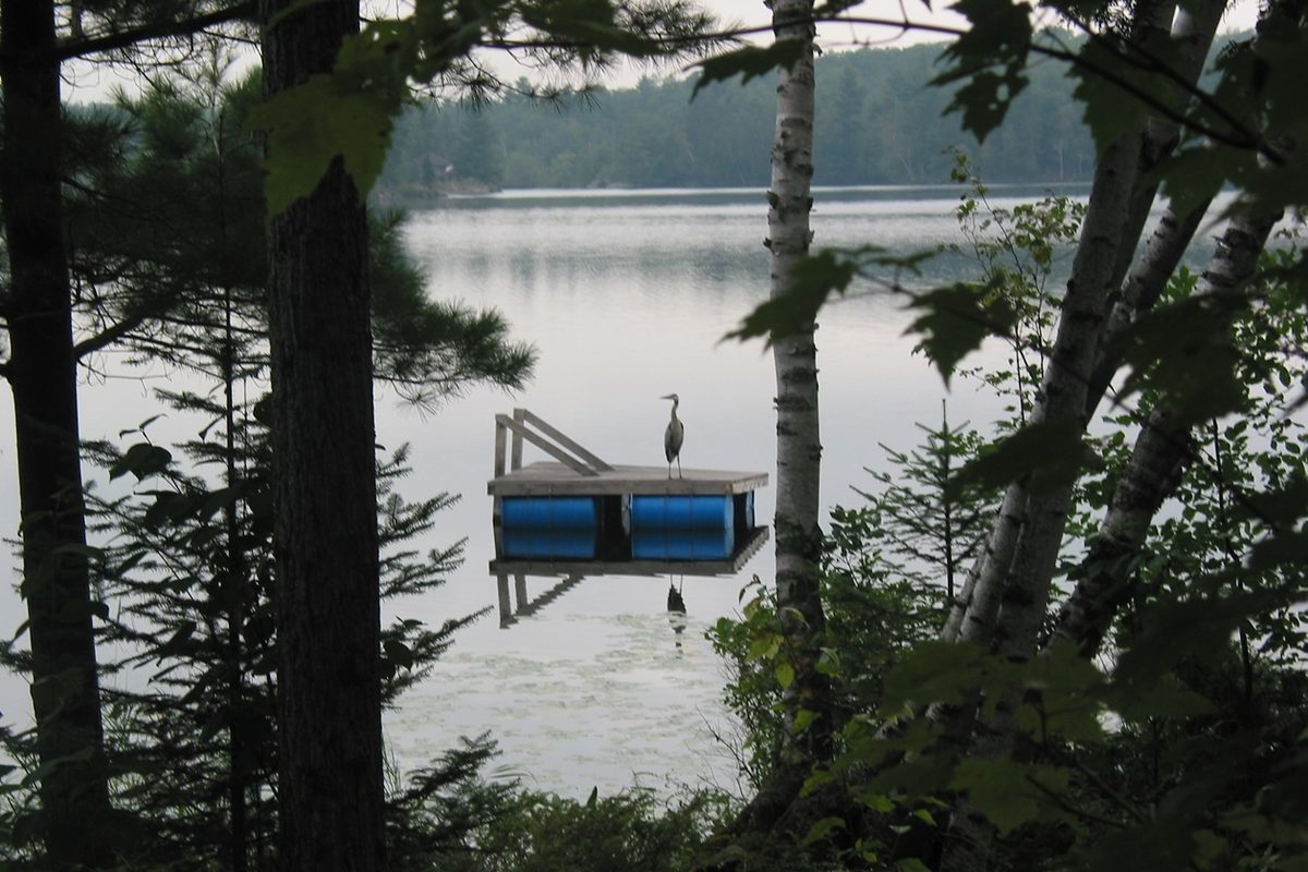
Big Cedar Lake
North Kawartha Township, Peterborough County
A landlocked Lake just east of Burleigh Falls off Highway 28. Clean, fresh water with an irregular shoreline of bays, rocky points, and sandy beaches. About 130 dedicated landowners who take the stewardship of the Lake seriously. Note: the Lake has an active invasive species management program — Starry Stonewort and Eurasian Milfoil are present and being addressed.
Sandy beaches, rocky shorelines, and deep milfoil weed beds in some areas. Island properties offer excellent privacy. Loons, osprey, and deer are common. The stewardship association actively pursues boat washing stations to prevent spread of invasive species — wash your boat before entering.
Generally clean with good clarity — but Starry Stonewort and Eurasian Milfoil are present in parts of the Lake. Assess the specific shoreline at any property you're considering.
Wide variety of pricing — contact for current data
Big Cedar has an unusually committed group of property owners who genuinely care about the Lake. That's a good sign for long-term water quality management. The invasive species issue is real and being actively addressed — not ignored, which is the right approach.
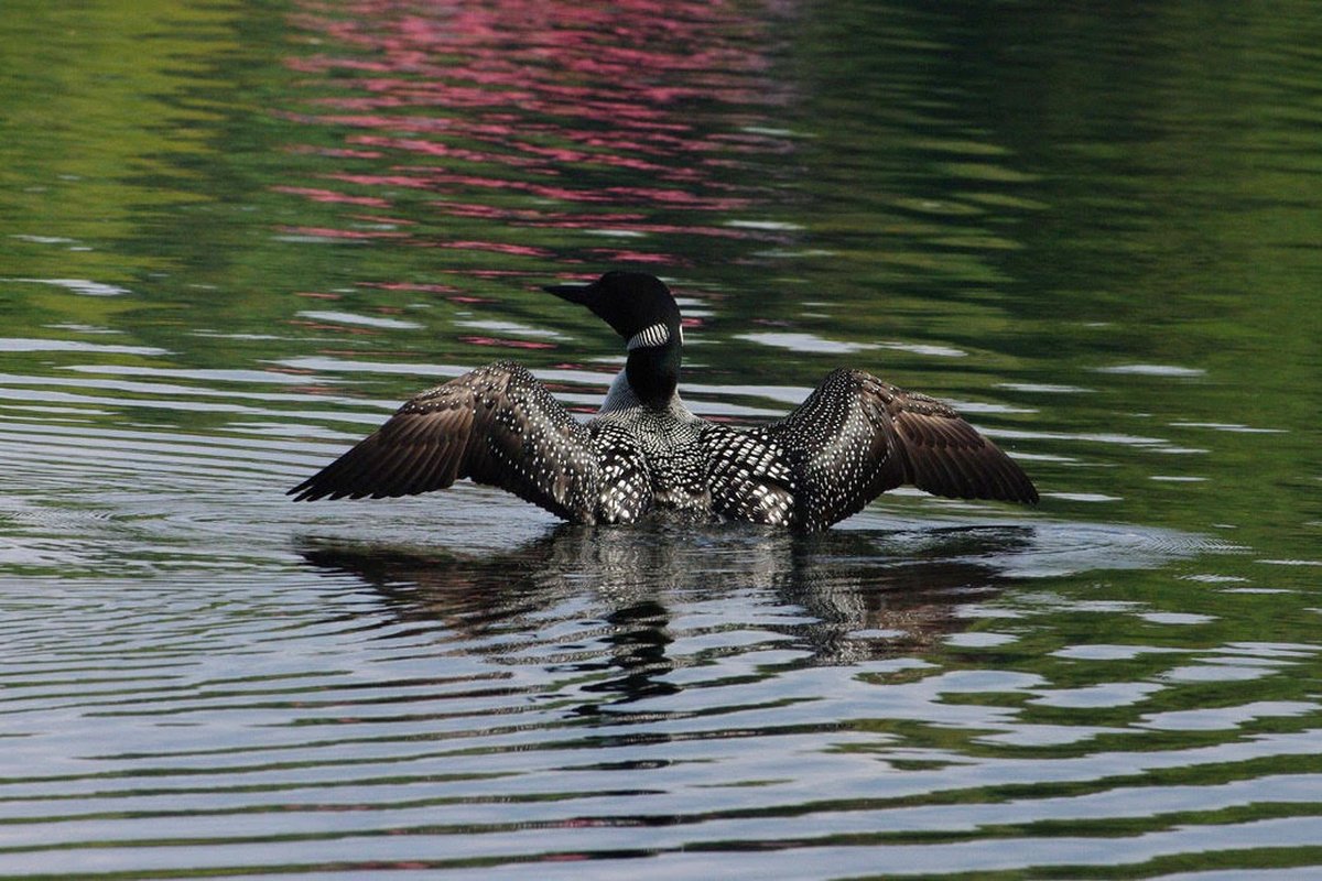
Fortescue Lake
Haliburton / Peterborough County line — Municipality of Trent Lakes
A clear-water cottage Lake straddling the Haliburton/Peterborough County line, just east of Kawartha Highlands Provincial Park. Rocky shoreline, rugged Canadian Shield character, and a friendly cottage community that has been managing and protecting the Lake since 1976.
Irregular shoreline with submerged timber, rocky rubble, and sandy/gravelly points. Public boat launch at the northwest end. The Fortescue Lake Cottagers' Association actively monitors water clarity and promotes best practices.
Clean and clear. Lake Trout habitat indicates good water quality. Minimal weed issues given depth and rocky character.
Limited recent data — contact for current information
Fortescue is off the beaten path in the best possible way. It's the kind of Lake where people go for the weekend and start talking about buying before they leave. Rarely comes to market — when it does, serious Buyers should move quickly.
Chemong Lake
Smith-Ennismore-Lakefield, Peterborough County
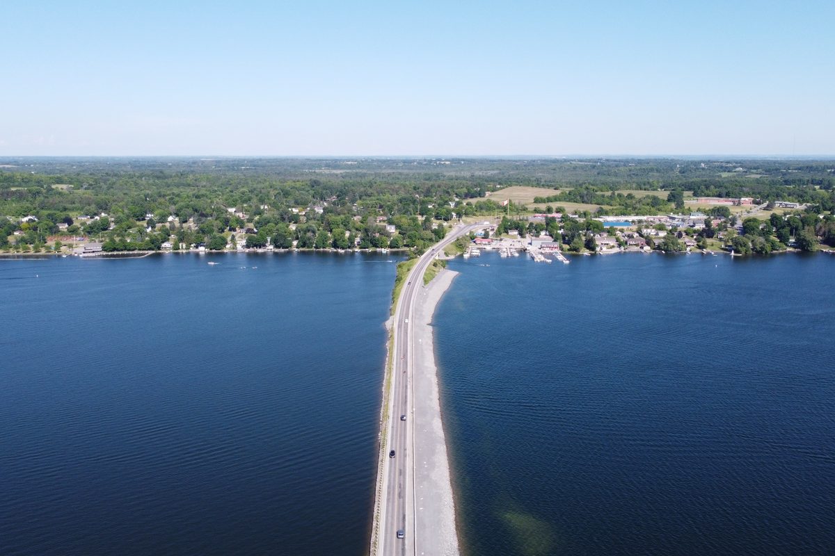
A long, narrow Lake 10 minutes north of Peterborough. Close to city amenities and proximity makes it ideal for permanent residents and retirees looking for a Lake lifestyle near services. Strong boating connectivity through the Tri-Lakes system. The trade-off: as a flooded farmland Lake, Chemong is known to be weedy.
Divided into Upper and Lower Chemong by the James A. Gifford Causeway connecting Bridgenorth and Ennismore. Several small islands. Nearby Selwyn Beach Conservation Area offers public swimming. Many permanent residences — the Peterborough proximity makes this a true year-round community Lake.
Known to be weedy — this is a consistent characteristic, not an exception. Water quality should be carefully assessed at any specific property before buying. Some clean shoreline areas do exist.
Mid $600s · Mid $1.5M, with occasional properties over $2M
Chemong rewards Buyers who care more about boating access and city proximity than pristine water quality. If you want to get on your boat and be at Buckhorn or Bobcaygeon for lunch, Chemong delivers that. Just go in with honest expectations about the Lake itself.
City of Kawartha Lakes — Western Region
Balsam · Cameron · Sturgeon · Four Mile · Shadow / Silver · Crystal · Pigeon (West) · Head Lake ·
Big & Little Bald · Dalrymple · Mitchell · Canal · Young · Davis · Moore
Balsam Lake
Township of Bexley, City of Kawartha Lakes
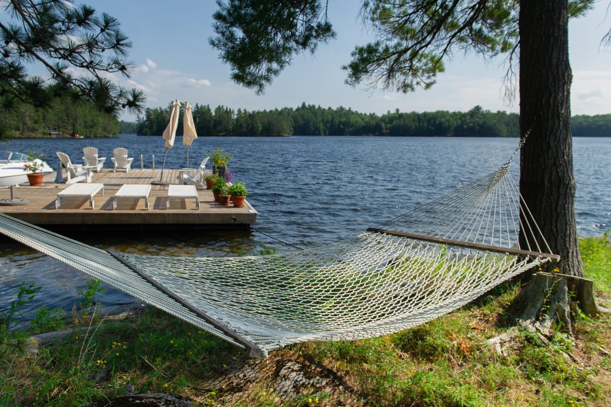
Balsam Lake sits at the highest elevation point of the Trent-Severn Waterway — water flows out in both directions. It is the most expensive Lake in the western Kawarthas by average sale price, and for good reason: clear water noticeably cleaner than most Lakes on the Waterway, a classic cottagey feel, and one of the least congested major Lakes in the region.
Limestone topography means level lots with gradual access to the water — typically limestone boulders, gravel, or sand. Concrete retaining walls on older properties are common. Balsam Lake Provincial Park on the eastern shore. One of the least congested major Lakes at 8.3 acres per cottage across 12,500 acres. Water levels managed by Parks Canada — stable and predictable. Flooding is not an issue.
Noticeably cleaner and clearer than most other Lakes on the Trent-Severn Waterway. Zebra mussels are present — wear water shoes. Bay areas can get weedy in summer; open shores are generally clean. Balsam is large enough for power boating, skiing, tubing, and wakeboarding — but generally less exposed than Stoney. Excellent fishing. Sandy entry areas make it ideal for families with young swimmers.
$800K–$1.1M for three-season cottages · $1.5M–$4M+ for updated year-round homes
Balsam holds its value because it earns it. The water quality, the Trent-Severn position, the lower density — these aren't accidental. In the current market with prices down from the COVID peak, Balsam represents genuine opportunity. Properties here rarely sit for long when they're priced correctly.
Cameron Lake
City of Kawartha Lakes — Fenelon Falls area
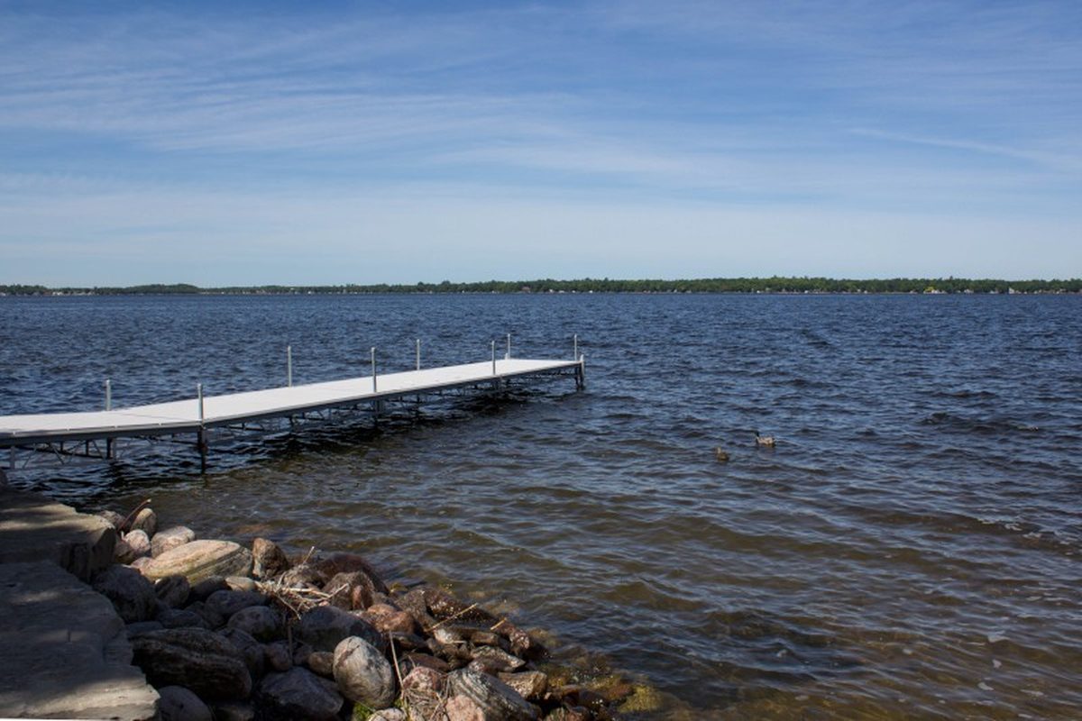
The sandiest Lake in the western Kawarthas — more sand-bottomed waterfront than any other Lake in the region, which makes it exceptional for family swimming. Quieter and more residential in character than Sturgeon, with easy access to Fenelon Falls by road or boat. Consistently one of the top-three most expensive Lakes in the western Kawarthas.
Limestone topography with level lots and gradual water access. Unique in the western Kawarthas for its high proportion of sand-bottomed waterfront. Some shorelines are shallow — an issue for Buyers planning to keep larger boats. The Burnt River enters at the north end. Water levels stable and managed by Parks Canada. The sandy bottom is the signature feature — ideal for families. Sheltered enough for calm-water swimming and paddling; good recreational boating with a more relaxed pace than the bigger chain Lakes.
Generally clean. Sandy bottom keeps weed growth lower than flooded Lakes. Shallow waterfront in some areas can get weedy in late summer — assess your specific shoreline.
$800K–$1.1M for three-season cottages · $1.5M+ for year-round homes · Highest recent sale: $3.5M
Cameron is the Lake families come back to — the sand bottom is simply unmatched in this part of the Kawarthas, and for Buyers with young kids, that matters more than almost anything else. Low ownership turnover means when something comes up here, you need to be ready.
Sturgeon Lake
City of Kawartha Lakes — Lindsay / Fenelon Falls / Bobcaygeon
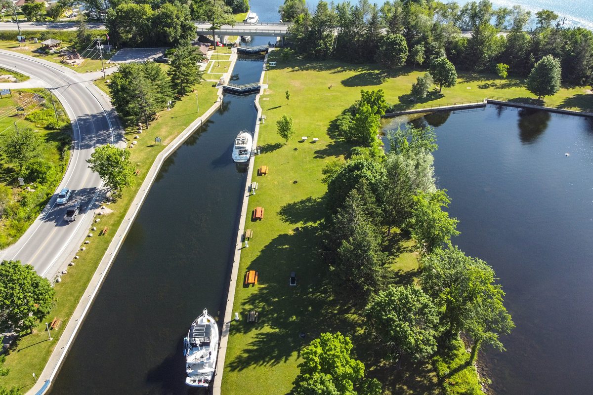
Big, Y-shaped, and connected to three towns — Lindsay, Fenelon Falls, and Bobcaygeon. Sturgeon is the workhorse of the western Kawarthas: excellent boating connectivity, easy access to services, and a wide range of price points. Not a wilderness Lake, but an incredibly practical one.
Limestone topography means most lots are relatively level with gradual water access — family-friendly. Shorelines range from rocky limestone to sandy patches. Older properties often have concrete retaining walls. Sturgeon Point and shores near Bobcaygeon are generally the strongest waterfront. The southern arm near Lindsay tends to be shallower and weedier. Canal development properties offer lower price points but indirect waterfront. West-facing shores can get very exposed to wind and rough water on summer afternoons — this is a large Lake and can get genuinely rough. That same exposure makes it excellent for sailing and power boating. Water skiing, tubing, and wakeboarding are popular. Good fishing throughout.
Variable by location. Southern arm: shallow and weedy. Northern shores and Sturgeon Point: significantly better. Location on this Lake matters enormously.
$700K–$1.2M seasonal · $1M–$2M+ year-round · Canal / deeded access considerably less
Sturgeon has more variety than almost any other Lake in the region. The answers to what matters to you — direct waterfront, boating access, swimming quality — will point you to very different parts of this Lake at very different price points. Don't let the listing address tell the whole story. We will.
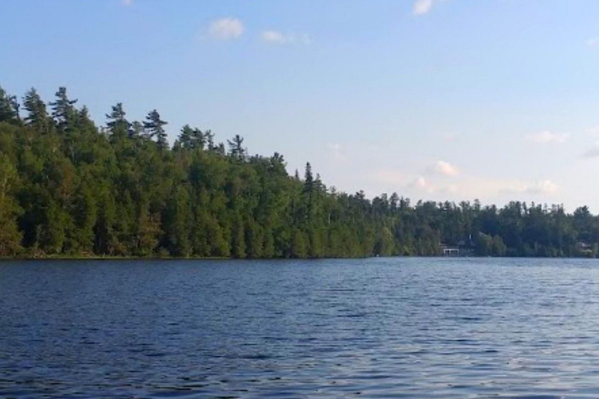
Four Mile Lake
City of Kawartha Lakes — Coboconk area
A spring-fed Lake just east of Coboconk with clear water and a striking split personality — the limestone southern half is rugged and deep with excellent swimming, while the granite northern half has smooth Shield shoreline. One of the better recreational Lakes in the western Kawarthas for watersports.
Southern half has rugged limestone shoreline — steep in sections on both east and west shores. Gradual gravel/limestone bottom with few weeds — excellent swimming. Northern half has smooth granite shoreline with natural, less-landscaped lots. Shallow northeast end bays can be weedy. North/south orientation limits wave action — ideal for water skiing, tubing, and wakeboarding. The straight fetch makes it one of the best recreational Lakes in the western Kawarthas for watersports. Good Bass fishing. Loons present.
Spring-fed with clear water overall. Southern limestone section is generally weed-free. Northeast bays are more variable — softer bottom and some weedy areas. Zebra mussels present — wear water shoes.
$750K–$1M seasonal · $1M–$2M year-round · Average sale ~$959K (2025, 8 sales)
Four Mile is consistently underrated. Spring-fed water, great watersports, and closer to the GTA than many comparable-quality Lakes. Low ownership turnover — when something comes up, it tends to move relatively quickly when priced right.
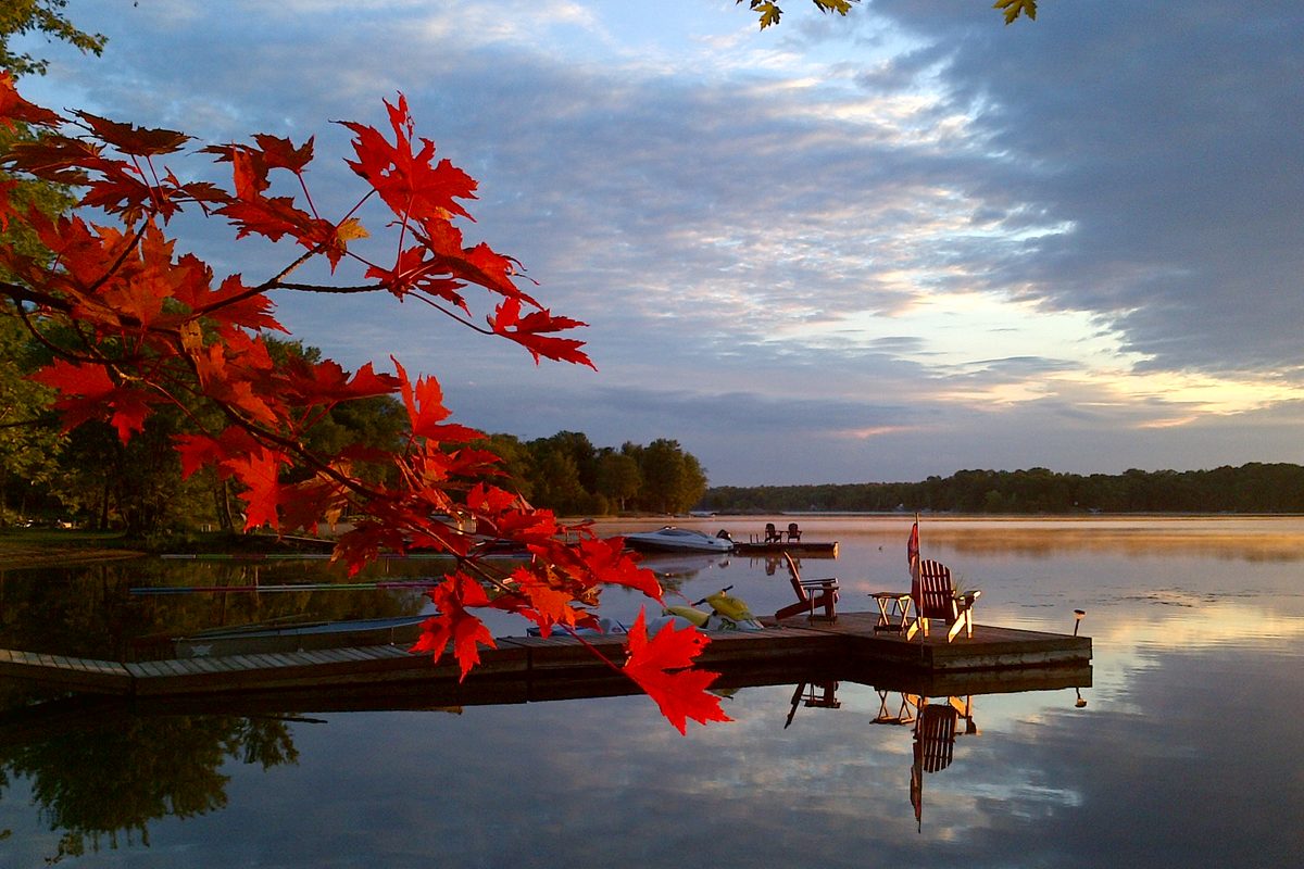
Shadow Lake & Silver Lake (Gull River System)
City of Kawartha Lakes — Norland / Coboconk
Shadow Lake runs eleven kilometres between Norland and Coboconk and forms part of the Gull River system flowing south from Haliburton. Clear water, good variety of waterfront types from level landscaped lots to rugged granite, and excellent watersports. Silver Lake connects at the south. A popular recreational system with a beautiful mix of limestone and Shield character.
Approximately 600 properties along 41 kilometres of shoreline. North/south orientation and narrow width means large waves are rarely an issue — excellent for watersports. Gull River sections offer good deep-water swimming. Boat traffic can be heavy on summer weekends. Some west-shore properties have easy Highway 35 access — popular for year-round living.
Generally clean. Variety of waterfront types — sandy beaches to granite shores. Flow-through from the Gull River keeps water clear. Caution on the Lake in winter: moving water creates thin ice in places.
$750K–$900K seasonal (Shadow/Silver) · $1M–$2M year-round · Gull River sections less
Shadow Lake offers some of the best value in the western Kawarthas for clear water and watersports capability. The Highway 35 access on the western shore makes it genuinely convenient for year-round living. Worth a close look for Buyers who want recreational quality without the Balsam or Cameron price tag.
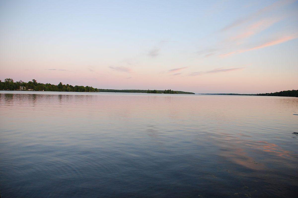
Pigeon Lake (West)
City of Kawartha Lakes — Western Region
A large Lake straddling the Kawartha Lakes / Peterborough County border, stretching 25 kilometres north to south. Known for exceptional lock-free boating access to multiple Lakes. The southern section is shallow and weedy — the northern third is a completely different Lake. Choose your location carefully.
Southern section below Boyd Island: shallow, weedy, not ideal for waterfront swimming — offshore sandbars are better. Northern shores: deeper, cleaner, with better swimming. Pigeon is a large Lake and can get rough in wind — particularly exposed on the open stretches. Good for power boating and fishing on calm days. Boyd Island is a 1,000-acre donated conservation area with 8 km of hiking trails. Western shore north of Bobcaygeon has some limestone escarpments. Water levels managed by Parks Canada — stable.
Heavy weeds in south end and bays. Wild rice proliferation in the south end is an ongoing management issue. Better toward the north. The northern shores offer meaningfully different water quality. Know which part of the Lake you're buying on.
$1M–$2M for year-round homes · Contact for recent data on seasonal properties
The lock-free connectivity on Pigeon Lake is genuinely exceptional — there aren't many Lakes where you can access four other Lakes without a single lock. For serious boaters, that's a massive quality-of-life advantage. But you have to buy on the right part of this Lake. We know which parts those are.
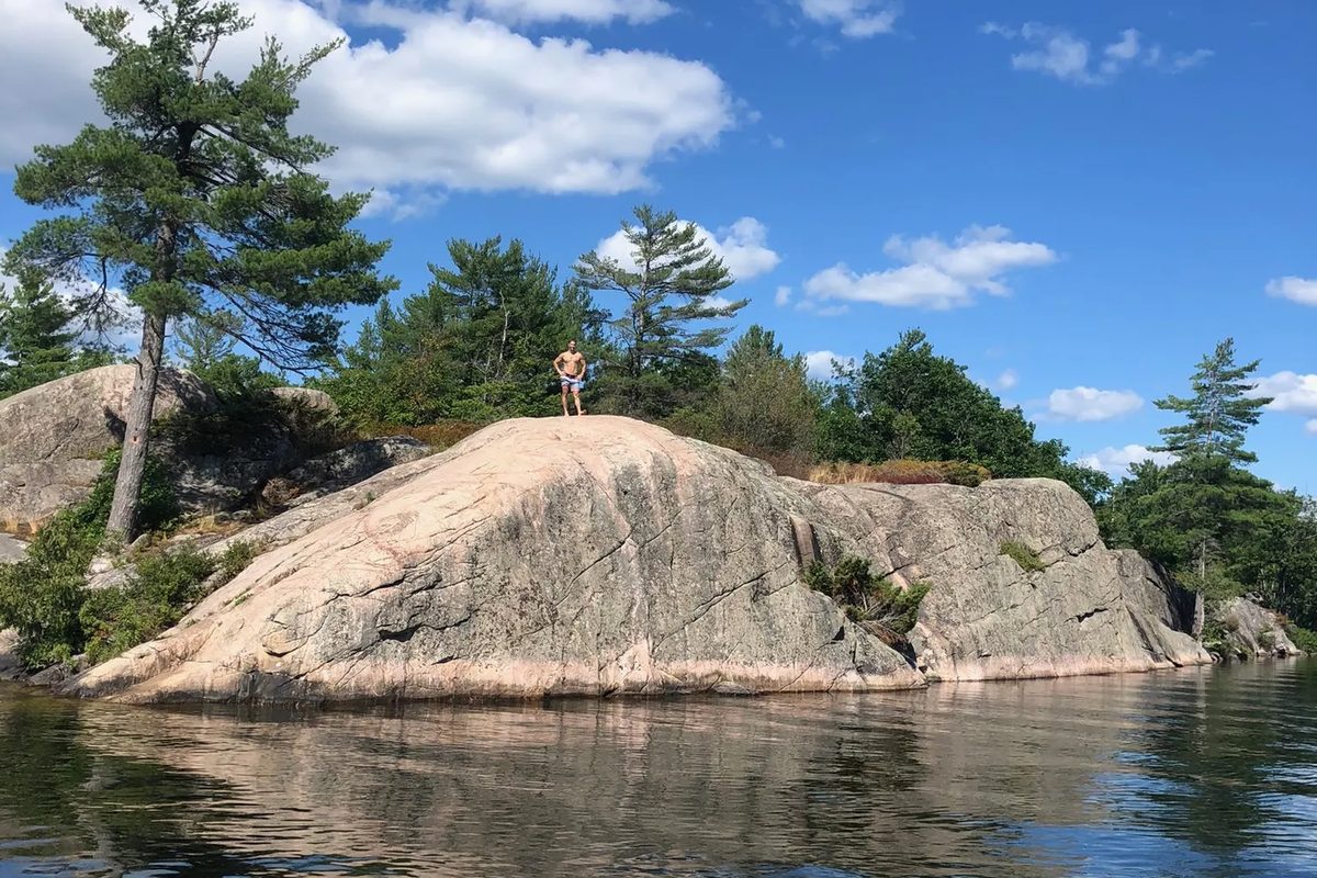
Big Bald Lake & Little Bald Lake
City of Kawartha Lakes
Two connected, spring-fed Lakes with excellent lock-free boating access to six other Kawartha Lakes. Quieter and less developed than the main chain, with Canadian Shield character. Less well-known than neighbouring Lakes — which means they sometimes offer better value for the water quality you get.
Combined surface area approximately 961 acres. Rocky shores, forests, and Canadian Shield landscapes. Little Bald's north shore features wild rice harvested by Curve Lake First Nation in fall. Quieter and more sheltered than the larger Lakes in the chain.
Generally clean given spring-fed character and rocky shorelines. Assess specific properties — some bays are shallower and may have more vegetation.
Wide variety — contact for current data
Big and Little Bald are genuinely underappreciated. The lock-free access to six Lakes is remarkable connectivity for a quieter, less crowded Lake environment. Buyers who find these Lakes tend to be very happy they did.
Crystal Lake
City of Kawartha Lakes — northwest Peterborough County border
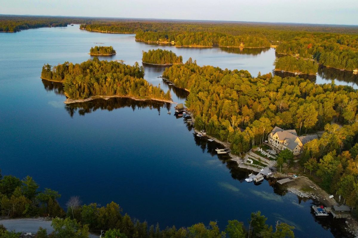
A spring-fed Canadian Shield Lake in the transition zone between limestone and granite country. Deep, clean water, rugged natural lots, and a good variety of waterfront types from sandy shallow entry to granite dive-off-the-dock. An excellent recreational Lake that punches above its modest profile.
26 miles of shoreline across many deep bays. About 500 waterfront properties. Natural, rugged lots — most owners leave the shoreline in its natural state. Some north-shore roads can be challenging in winter. Water levels drop in late summer through Thanksgiving — visit in late summer, not spring, to see actual water levels.
Generally clean and weed-free. Spring-fed deep water maintains quality. Northeast bay areas can be more variable with softer bottom.
$565K–$1.475M (2024/25 sales range) · Average sale ~$624K (2025, 4 sales)
Crystal Lake is having a quiet moment — sales volumes are low and prices have pulled back. For Buyers who've been waiting for the right time to get into a quality recreational Lake, this is worth a serious look right now.
Head Lake
City of Kawartha Lakes — Uphill / Norland area
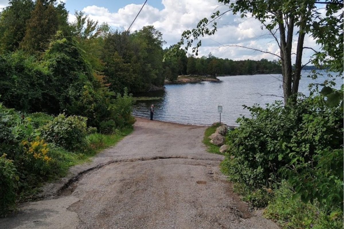
A quieter, less-developed Lake fed by clean waters flowing from the Queen Elizabeth II Wildlands Provincial Park to the north. Stunning granite shorelines on the north and northeast shores. Not a Lake for everyone — rocky in places, steep in areas, and remote enough to feel genuinely away — but deeply loved by those who know it.
Naturally rugged — most properties are left in their natural state. East shore can be steep to water. Low-lying sections near the Head River outlet are shallow. North and northeast shores have some of the most spectacular smooth granite in all of the western Kawarthas. The Wildlands Park access adds tremendous canoe and wilderness exploration value.
Extremely clean — source waters flow from almost entirely uninhabited provincial park land. No invasive species or algae issues reported. The southern portion of the Lake is relatively shallow — warms up quickly, good swimming.
$700K–$1.2M (recent range, limited sales)
Head Lake has no business being as affordable as it is given the water quality and the Wildlands access. It doesn't show up on many Buyers' radar — which is the whole reason the pricing hasn't caught up to the quality. Worth a serious look for anyone drawn to rugged granite and genuine quiet.
Lake Dalrymple
City of Kawartha Lakes
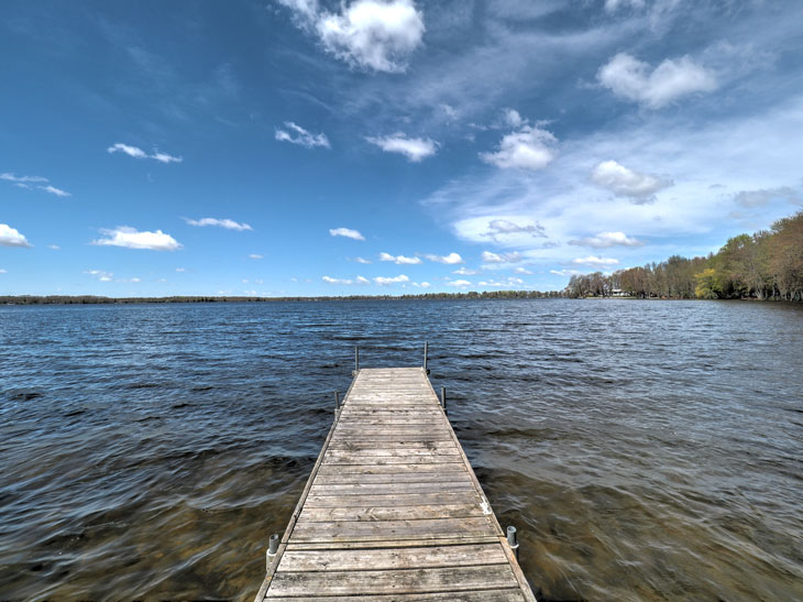
A long, narrow Lake connecting the northern Kawarthas. Not a destination Lake on its own — most Buyers here are focused on boating access to the broader system. Good water quality and some very strong waterfront properties at reasonable prices.
Long and narrow with good boating connectivity. Limestone topography means level lots with gradual water access. Some very strong waterfront properties. Not a swimming destination — the value here is boating access and reasonable pricing for waterfront on a connected system.
Generally clean. Some areas can be weedy given the limestone character and shallow sections. Assess specific properties.
Wide variety — contact for current data
Dalrymple is a connector Lake — people buy here for the boating network, not the Lake itself. That said, there are some genuinely excellent waterfront properties at prices that would be hard to match on Balsam or Cameron. If boating access matters more to you than Lake name prestige, Dalrymple deserves a look.
Mitchell Lake
City of Kawartha Lakes / Haliburton County border
A deep, clear Lake on the western edge of the Kawarthas, right at the Haliburton border. Less crowded than Lakes further south, with a rugged Shield character that feels more remote than the drive suggests. Good value for the water quality on offer.
Deep, clear water with rugged granite shoreline. Less crowded than Lakes further south. Good variety of waterfront types. Some north-shore roads can be challenging in winter. The Haliburton border location means you're getting Shield character without Haliburton pricing.
Excellent water quality. Deep, clear, and cold. Minimal weed issues given the depth and granite character.
Wide variety — contact for current data
Mitchell Lake is where Buyers who want Haliburton water quality without Haliburton prices end up. The granite character, the depth, the clarity — it's all here. The trade-off is a slightly longer drive and fewer services nearby. For many Buyers, that's a trade-off they're happy to make.
Canal Lake
City of Kawartha Lakes
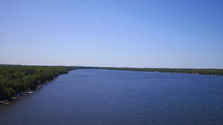
A long, narrow Lake with one of the most unusual histories in the Kawarthas — originally excavated as part of the Trent Canal system, with many man-made sections. Excellent boating connectivity and some very affordable waterfront for a connected Lake.
Long and narrow with many man-made sections from the original canal excavation. Some very affordable waterfront for a connected Lake. Boating is the main draw — not a swimming destination. Water levels managed by Parks Canada.
Variable. Man-made sections can be shallower and more weedy. Natural sections are generally cleaner. Assess specific properties carefully.
Wide variety — contact for current data
Canal Lake is the value play on connected water. You're on the Trent-Severn system at prices that would be impossible on Balsam or Cameron. The trade-off is that some sections are man-made and shallow — but for Buyers who want boating access above all else, Canal Lake delivers.
Young Lake
City of Kawartha Lakes — Uphill / Norland area
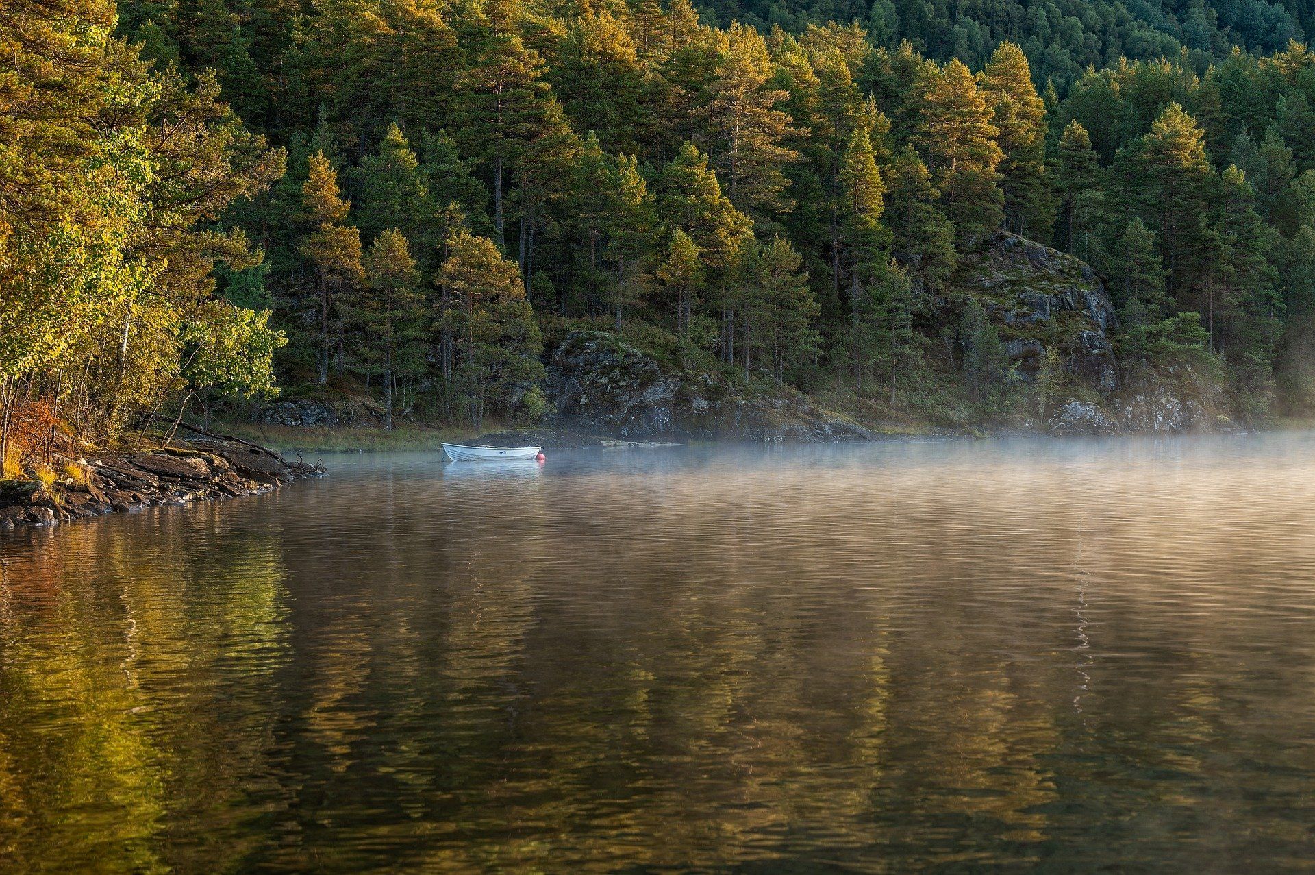
A quiet, spring-fed Lake in the transition zone between limestone and Shield country. Deep, clear water, rugged shoreline, and a genuine away-from-it-all feeling despite reasonable GTA access. One of the less-known Lakes in the western Kawarthas — which means value for those who find it.
Natural, rugged shoreline — most properties left in their natural state. Deep water with excellent swimming. Quiet and less developed than Lakes further south. Some roads can be challenging in winter. The away-from-it-all feeling is genuine — you're not passing through on the way to somewhere else.
Excellent. Spring-fed deep water with minimal weed issues. The granite and limestone mix keeps water clear and clean.
Wide variety — contact for current data
Young Lake is one of those Lakes that doesn't show up on many Buyers' radar — which is exactly why it can offer such good value. The water quality is excellent, the shoreline is rugged and natural, and the quiet is real. For Buyers who don't need Trent-Severn connectivity, Young Lake is worth exploring.
Davis Lake
City of Kawartha Lakes — Kinmount area
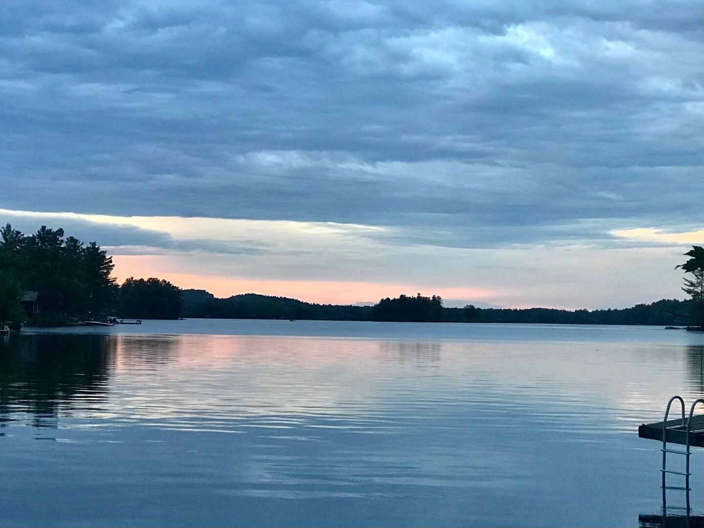
A small, deep, spring-fed Precambrian Lake on the southern edge of Haliburton County. Crystal clear water, granite character, and a very tight-knit community of 145 properties. Rarely comes to market — and when it does, it moves.
230 acres, 145 waterfront properties — most seasonal. Sandy wade-in shoreline in places with deep off-dock swimming for adults. 150+ acres of conservation land accessible from west-end properties for hiking. Highlands Cinema in Kinmount (open May–Oct) is a local favourite.
Excellent. Deep, clear, cold Precambrian water. Lake Trout habitat. Very minimal weed issues.
$400K–$830K (since 2020 — only 10 sales)
Davis Lake is Haliburton water quality at western Kawarthas prices. Ten sales since 2020 tells you everything about how rarely it comes available. If something comes up here, you won't have long to decide.
Moore Lake
Haliburton County — near Norland / Highway 35
The closest Haliburton-character Lake to the GTA. Part of the Gull River system, with deep, clean Precambrian water and easy Highway 35 access. Divided into main Moore Lake and East Moore Lake by a peninsula. Affordable for the water quality on offer.
440 acres, approximately 165 waterfront properties. The Gull River flows through — Moore Falls at the north end. Divided by a long peninsula into main Lake and East Moore Lake, with easy boating between sections. Highway noise can be an issue on properties closest to Hwy 35, primarily on summer Friday and Sunday evenings.
Clean and clear. Gull River flow-through keeps water fresh. Sandy and granite entry in various spots — good variety. Water deepens quickly for adult off-dock swimming.
$640K–$1.3M (recent sales range — very few sales)
Moore Lake is where Buyers who've been priced out of Haliburton land — and they're usually very happy they did. The water quality is the same. The price is not.
Northumberland County
Rice Lake
Rice Lake
Northumberland / Peterborough County border
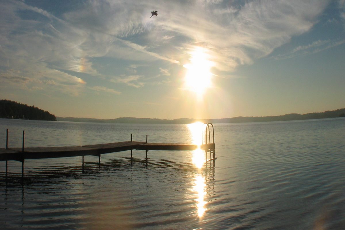
A large, historically significant Lake straddling Northumberland and Peterborough counties, south of Peterborough and north of Cobourg. Part of the Trent-Severn Waterway with extensive boating. Considered one of the Lakes with the most fish per acre in Ontario. Wide range of property types and the most accessible price points in this guide.
32 km long and 5 km wide with 27 islands — partially submerged drumlins. The Lake nearly bisects the Oak Ridges Moraine. Communities include Bewdley, Harwood, Roseneath, Keene, Gores Landing, and Hastings. Hiawatha and Alderville First Nations on the north shore. Serpent Mounds Provincial Park — a National Historic Site — on the north shore.
Known to be weedy — a consistent characteristic of this shallow Lake. Assess specific shoreline conditions at any property you are considering. Excellent fishing habitat — shallow weedy Lakes support tremendous fish populations.
Seasonal older cottages under $750K · Modern lakehouse properties over $1.5M
Rice Lake is the most affordable true waterfront in this guide and the closest to Toronto. It's weedy — that's real and we won't pretend otherwise — but if fishing and boating matter more to you than crystal-clear swimming, Rice Lake over-delivers at its price point. The communities around the Lake are charming and the history is rich.
Durham Region — Township of Scugog
Lake Scugog · Port Perry area
Lake Scugog
Township of Scugog, Durham Region — Port Perry
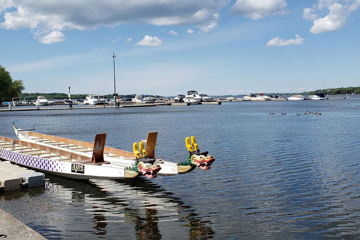
The Lake lifestyle closest to Toronto. Lake Scugog anchors the charming town of Port Perry and offers waterfront living within an hour of the GTA. A wide, shallow artificial Lake — not a swimming destination — but ideal for retirees, families, and GTA Buyers who want the Lake lifestyle without a two-hour drive.
68 km² with 172 km of shoreline including Scugog Island. Port Perry is the anchor community — a heritage downtown with restaurants, shops, and services. Strong year-round community. Within Ontario's Greenbelt, limiting rapid urban expansion. Ongoing conservation efforts address water quality and invasive species.
Can be weedy given its flooded farmland origins and shallow depth. Assess specific shoreline at any property you're considering. Walleye fishing has been restricted due to population decline — fishing regulations apply.
Older seasonal cottages from under $800K · Most waterfront properties over $1M · Average $900K–$950K (Scugog area)
Lake Scugog and Port Perry sell a lifestyle more than they sell a Lake. The town is genuinely lovely — waterfront dining, boutique shopping, heritage streetscape. For Buyers who want to be on the water and close to Toronto, and who aren't expecting crystal-clear Shield swimming, this delivers. The one-hour drive from the city is the real selling feature.
Simcoe County & Durham Region
Lake Simcoe — Barrie · Innisfil · Oro-Medonte · Beaverton · Georgina · Ramara
Lake Simcoe
Simcoe County / York Region / Durham Region
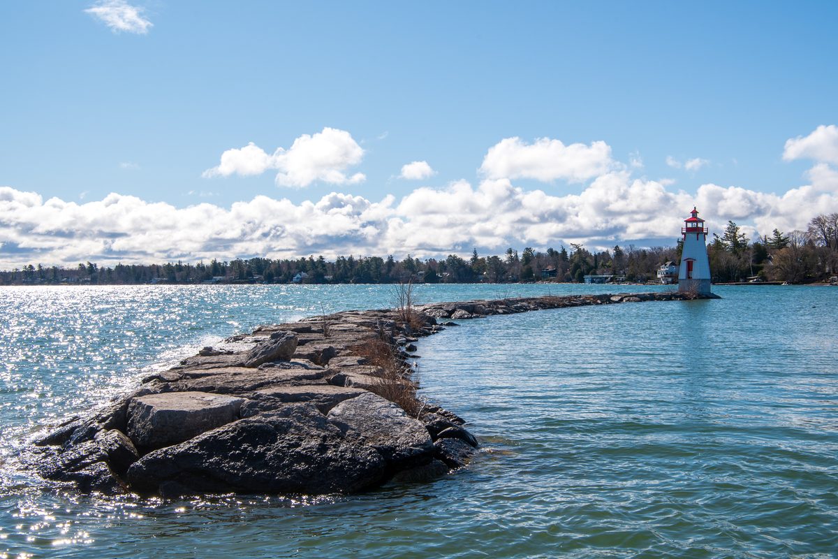
Ontario's fourth-largest Lake and one of the most sought-after waterfront markets in the province. Lake Simcoe operates at a significantly higher price point than the Kawarthas — a different market entirely. Multiple communities, multiple personalities, and year-round recreational use including world-famous ice fishing. GTA access within the hour.
722 km² with 118 miles of shoreline spanning Barrie, Innisfil, Oro-Medonte, Orillia, Beaverton, Georgina, and Ramara. Over 14,000 cottages on the shoreline. Character varies significantly: Beaverton and the eastern shoreline are noted for superior water quality. Georgina on the south shore offers popular public beaches. Kempenfelt Bay in Barrie is the deepest section. Georgina, Snake, and Fox Islands are a First Nations reserve.
Varies significantly by location around the Lake. Active environmental programs address water quality. Eastern shores (Beaverton area) generally have the best water quality. Research your specific area carefully before buying.
Pockets of older seasonal cottages below $1M · Most private cottages $1M–$5M+ · Average ~$1.5M–$1.7M · Peak average $1.74M (2023)
Lake Simcoe is a different category from the Kawarthas — significantly higher prices and a more competitive market. The 2021–2022 peak was extraordinary and prices have come down materially since. There are opportunities in the current market for Buyers who have been priced out historically. The eastern Beaverton shoreline is where we'd focus for Buyers who prioritize water quality. The GTA access is genuinely unbeatable for a Lake of this calibre.
Now Let's Find You a Lake!
This guide is a starting point. It gives you the framework. But the real knowledge — which specific bay on Buckhorn is worth buying on, which end of Pigeon Lake to avoid, how a particular shoreline actually swims — that comes from having been at these Lakes, in these homes, through hundreds of waterfront listings — and from a lifetime of actually being on these waters. Christine and Dan both grew up in the Peterborough area, boating, fishing, water skiing, canoeing, kayaking, kneeboarding, swimming and tubing on many of these very Lakes. This isn't just our market. It's where we grew up.
This guide covers the Lakes we know best across the Kawarthas, Peterborough County, Northumberland, Simcoe County, and Durham Region. We haven't included every Lake in Ontario, and some of the smaller, more private Lakes with limited sales history aren't in here — though that doesn't mean we can't help you buy on one. Dan brings particular knowledge of Simcoe County and the Lakes in that area; Christine leads on the Kawartha waterfront.
One more thing: if you've found a property that interests you but aren't sure it's worth the drive without knowing more about the waterfront first, ask us. Subject to our schedule, we're often able to preview a property on your behalf and give you a straight answer before you make the trip.
We'll always give you our honest assessment — and if we haven't been on a particular Lake recently, we'll tell you that and find out. When we start working together, that knowledge is yours. Every showing comes with our honest assessment of what we see — not what makes the sale easier, but what you actually need to know. That is the difference.